Where are we driving.
Six places are playable now: Tholen, Amsterdam, Ouddorp, Walcheren, Goes and Bergen op Zoom. Each map has its own roads and activities.
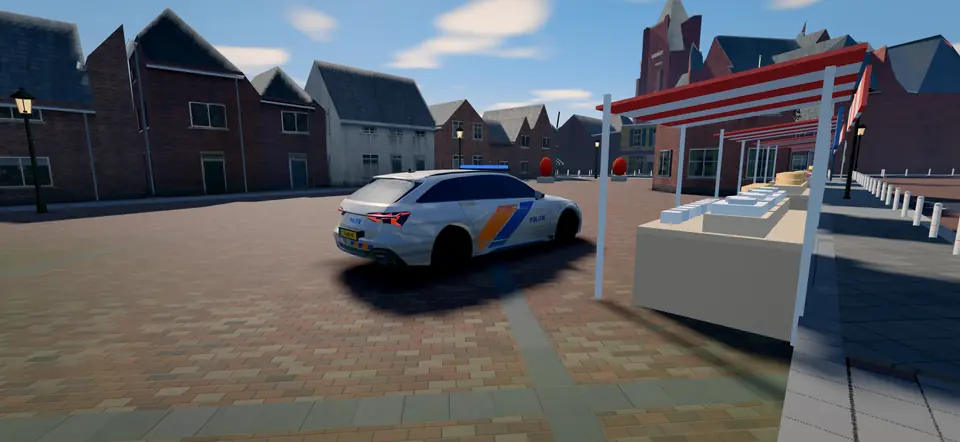
Tholen
Zeeland · 20 × 17 km
The island where it all began. Brick paving on the Markt, dykes along the water and villages that each have their own church tower.
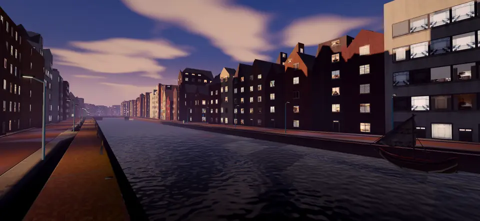
Amsterdam
North Holland · 10 × 10 km
Narrow quays, red brick and bridges everywhere. Every corner asks for attention.
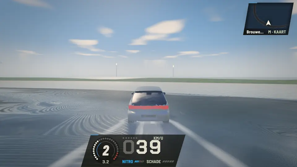
Ouddorp
South Holland · 13 × 11 km
This is where the tarmac stops and the sand starts. You drive across the beach, along the dam and all the way to the lighthouse.
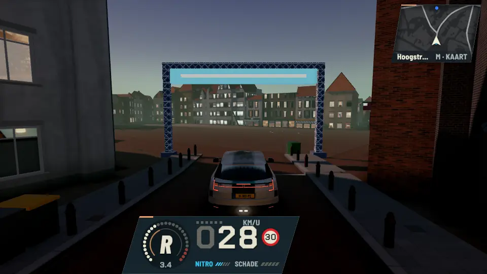
Bergen op Zoom
North Brabant · ±13 × 16 km
A short sprint from the Markt, a lap through town or the Zoomse dyke drive: choose your own pace.
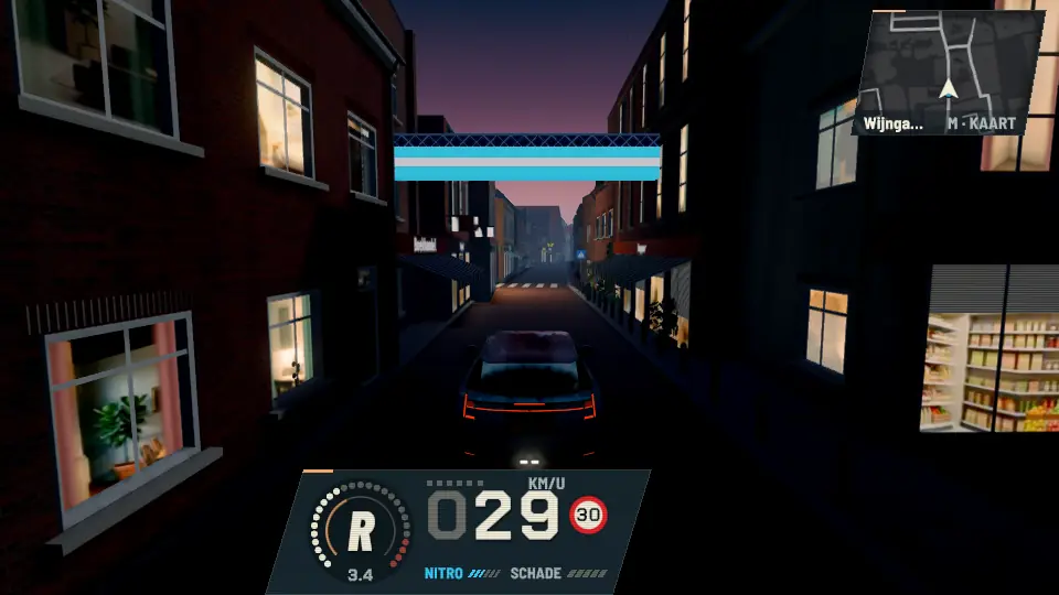
Goes
Zeeland · ±14 × 17 km
From the Grote Markt to Goese Sas. And while you are on the road: those pastries still need delivering.
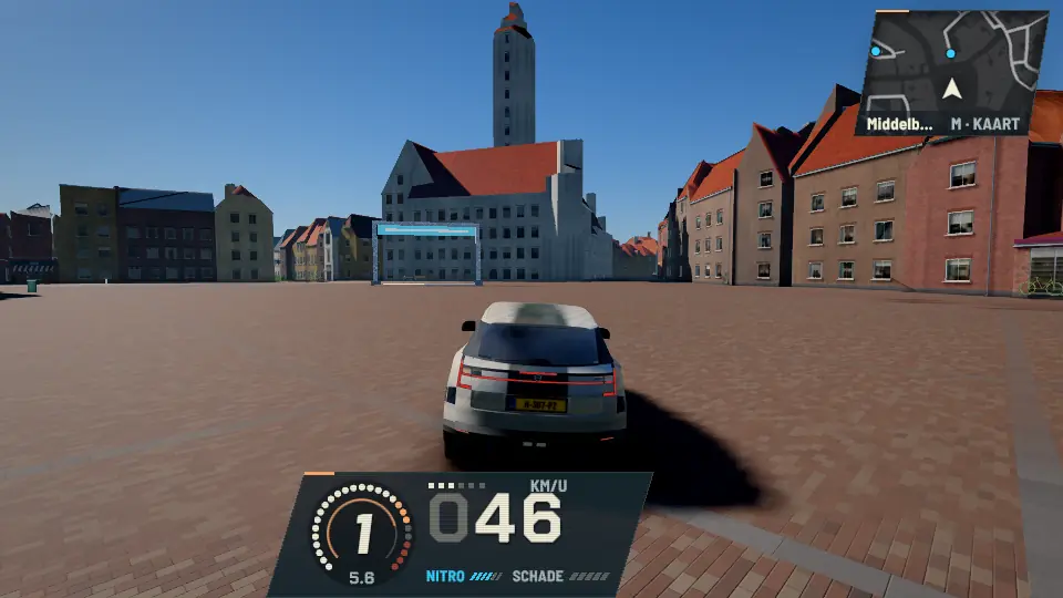
Walcheren
Zeeland · ±13 × 12 km
A ring around Middelburg, a sprint along the Sloeweg and a lap by the boulevard in Vlissingen.
Then all of the Netherlands.
All of the Netherlands is playable: start anywhere or in your own street. These regions have extra detail and their own minigames; the big cities come next.
Big cities first, then municipalities per province, ordered by number of inhabitants and children. Every new map gets its own places and its own minigames, not a copy with another place name.
How does a map get added?
- Open data from OpenStreetMap, 3DBAG, AHN and PDOK is turned into a playable map.
- We check the roads, spawn points and minigame routes.
- Only then does the region go to “playable” and appear on this site.
Local companies can help fund a map. How sponsoring works.